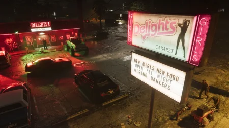

Leonida Has Five Counties, and Now Every One of Them Has a Name
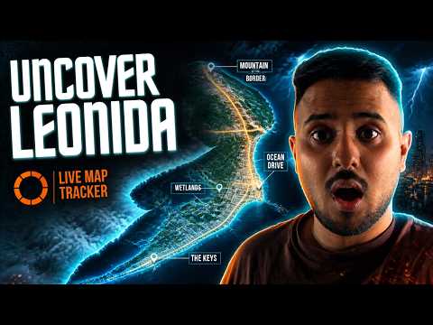
GTA 6’s map is the state of Leonida, and PowerPyx’s full in-game map — published after playing the released game — settles the geography at last. Leonida is divided into five counties: Mariana, Vice-Dale, Kelly, Leonard and Lummox.
PowerPyx measured the map at 175 km² in total, 16 km tall by 10.9 km wide — about 67.5 square miles. Roughly 35% of that area is water and 65% land, which fits a state built from islands, bays, swamps and one very large lake.
Below is every county and its named locations, taken from that published in-game map. One caution before the tour: Rockstar has not issued its own county list, so the names here rest on PowerPyx’s played-through map — the strongest source available, but a single one.
Key Takeaways
- Leonida has 5 counties: Mariana (south), Vice-Dale (main city), Kelly (north-west), Leonard (north-east) and Lummox (north).
- PowerPyx measured the full map at 175 km² (16 × 10.9 km), roughly 35% water.
- Vice City sits in Vice-Dale County and has more than 20 named districts and islands on the in-game map.
- Mariana County holds the Leonida Keys, Grassrivers, Mile Zero Air Station and Watson Bay.
- Mount Kalaga National Park is in Lummox County; Port Gellhorn and Draper Island are in Kelly County.
- Ambrosia, one of Rockstar’s six named regions, appears on the map as a named location rather than a county.
- Fully clearing the map’s fog earns The Goodtime State trophy, per PowerPyx.
Part 1 — Counties Are Not Regions, and That Matters
Before launch, Rockstar’s own geography named six regions: Vice City, the Leonida Keys, Grassrivers, Port Gellhorn, Ambrosia and Mount Kalaga. Those regions are real places in the game, but they are not how the in-game map divides the state.
The map’s own division is the five counties, and the famous regions sit inside them. The Keys and Grassrivers are in Mariana County. Port Gellhorn is in Kelly County. Mount Kalaga National Park is in Lummox County. Vice City fills most of Vice-Dale County.
This is why launch-week directions can sound contradictory: a player saying “meet me in Ambrosia” and a player saying “meet me in Kelly County” may be describing nearby ground in two different naming systems. Our guide to the regions of Leonida covers Rockstar’s six regions in their own right.
PowerPyx also notes that you can go inside many buildings — not all — and ride elevators to multiple floors in some skyscrapers. The 175 km² figure is therefore only the flat footprint; the playable interior space sits on top of it. For the size debate in full, see how big the GTA 6 map is and how it compares with earlier Rockstar worlds.
Part 2 — Mariana County: The Keys, the Swamps and the Air Station
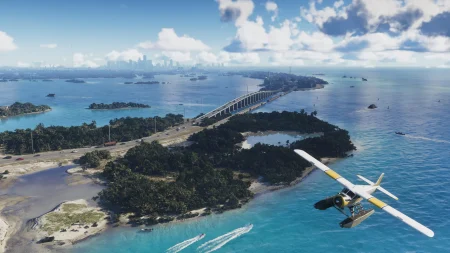
Mariana is the southern county, and it is where the game’s geography is at its most watery. Its named locations start with Mile Zero Air Station — the military airfield in the Keys, and already one of the most talked-about places on the map.
Southwind anchors the island chain, with the Riquezas Keys, Permit Keys, Maroon Key and Abismo Key around it, plus Leonida Bay. Key Lento follows, with Gambit Bay, the Shoeless Keys, Corsair Key, Peregrine Bay and the Leonida Straits.
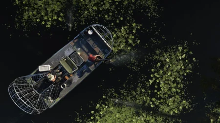
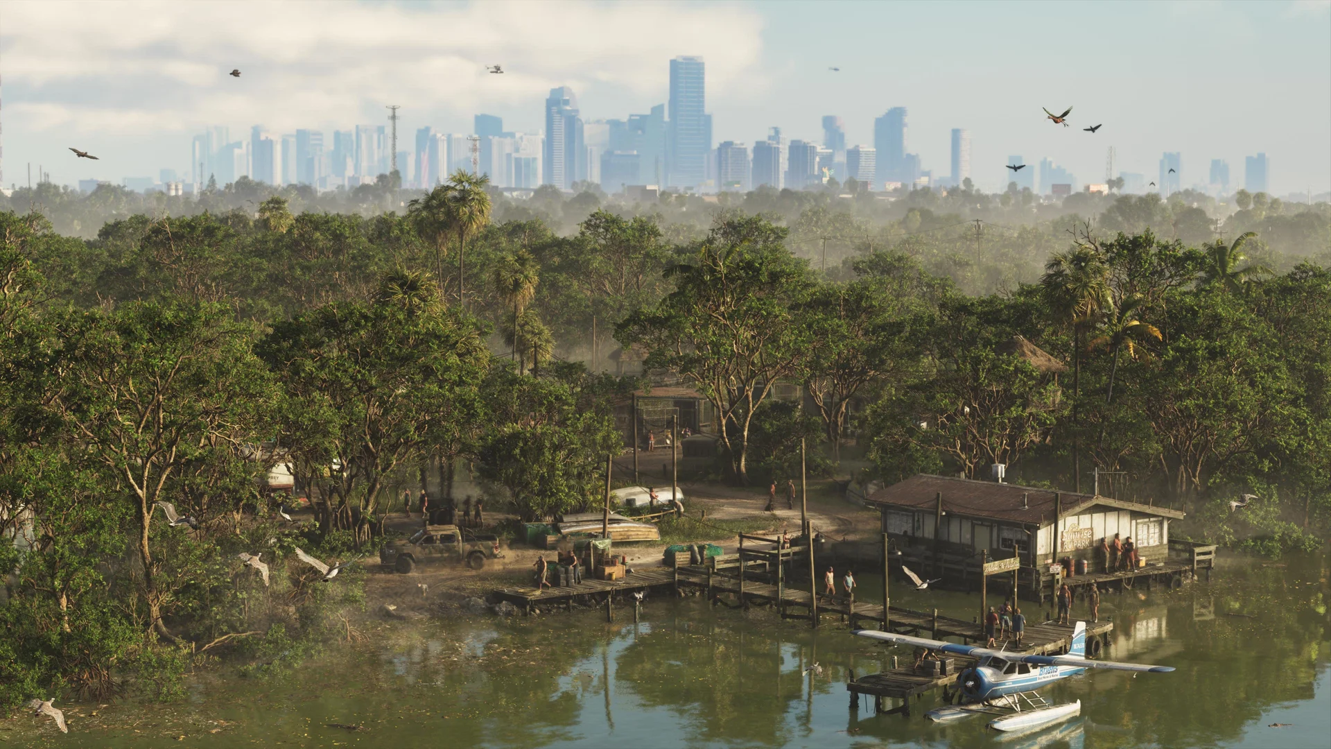
Inland, Pelican Valley brings the swamps: Cottomouth Lake, Wetman Bay, Gullet Marsh and the Pelican River. Watson Bay adds Bobcat Key and Bobcat Bight, Grassrivers contributes Tola Bay, and Capri rounds out the county with Tortoise Lake, Capri Sound, Belpoint and the Gulf of Leonida shore. North Mariana County, along the Nehrling River, is the county’s quiet top edge.
Jason’s story starts down here in the Keys, which makes Mariana the first county most players will learn street by street. Our guide to what is in the Leonida Keys goes deeper on the islands themselves.
Part 3 — Vice-Dale County: Vice City and Everything Around It
Vice-Dale is the main city’s county, and its location list is the longest on the map. Beyond Vice City itself, the county includes Hamlet — where Lucia’s Prologue prison sits — South Vice-Dale County, West Vice-Dale County and VCIA, the city’s international airport.
Vice City’s named districts and islands, as listed on the in-game map, are: Southside, Peacock Bay, Tequesta, Tequesta Retreat, Downtown, Little Cuba, Salton, Rockridge, Crosstown, Bayside, La Perle, Balsero, Stockyard and the Decor District.
Then come the islands and waterfront names: Leaf Links, the Rialto Islands, Starfish Island, Waxman Island, Port Vice City, Catalan Bay, Catalan Key, Gloriana Key and Dalton Island. Vice Beach sits alongside the city with Ocean Beach, Washington Beach and the Atlantic Ocean beyond.
For returning players, the familiar bones are there — a downtown, a beach strip, island homes, a port and an airport — but the named-district count is far beyond what the 2002 Vice City ever attempted. Expect the Stockyard, Little Cuba and the Decor District to develop their own identities as the story routes you through them.
Part 4 — Kelly County and Leonard County: The Two Coasts
Kelly County covers the north-west. South Kelly County holds Buckskin Swamp, the Emerald River, Emerland Springs and Gellhorn. Port Gellhorn — one of Rockstar’s six headline regions — lists Wild Hog Point, Borrachero Sound, the Crude Islands and its Sandbars.
Draper Island, with Draper Bay, sits off the Kelly coast, and North Kelly County closes the county out with Frogswater and Manifest Canyon. Ambrosia, the sugar town Rockstar promoted as a region, is placed in this part of the state in GTABase’s breakdown — reported rather than settled, since the county lists come from the map itself and Ambrosia appears there as a location, not a county.
Leonard County, in the north-east, is the leanest list: South Leonard County, Belville, and Waning Sands on the Leith River. North Leonard County holds the map’s great inland water — Lake Leonida — plus Richard Barebone State Park and Little Hardin Island.
Leonard reads as Leonida’s quiet coast: fewer named places, bigger distances, and a lake that will matter for boats, seaplanes and anyone hiding from the law away from the city.
Part 5 — Lummox County: The Northern Highlands
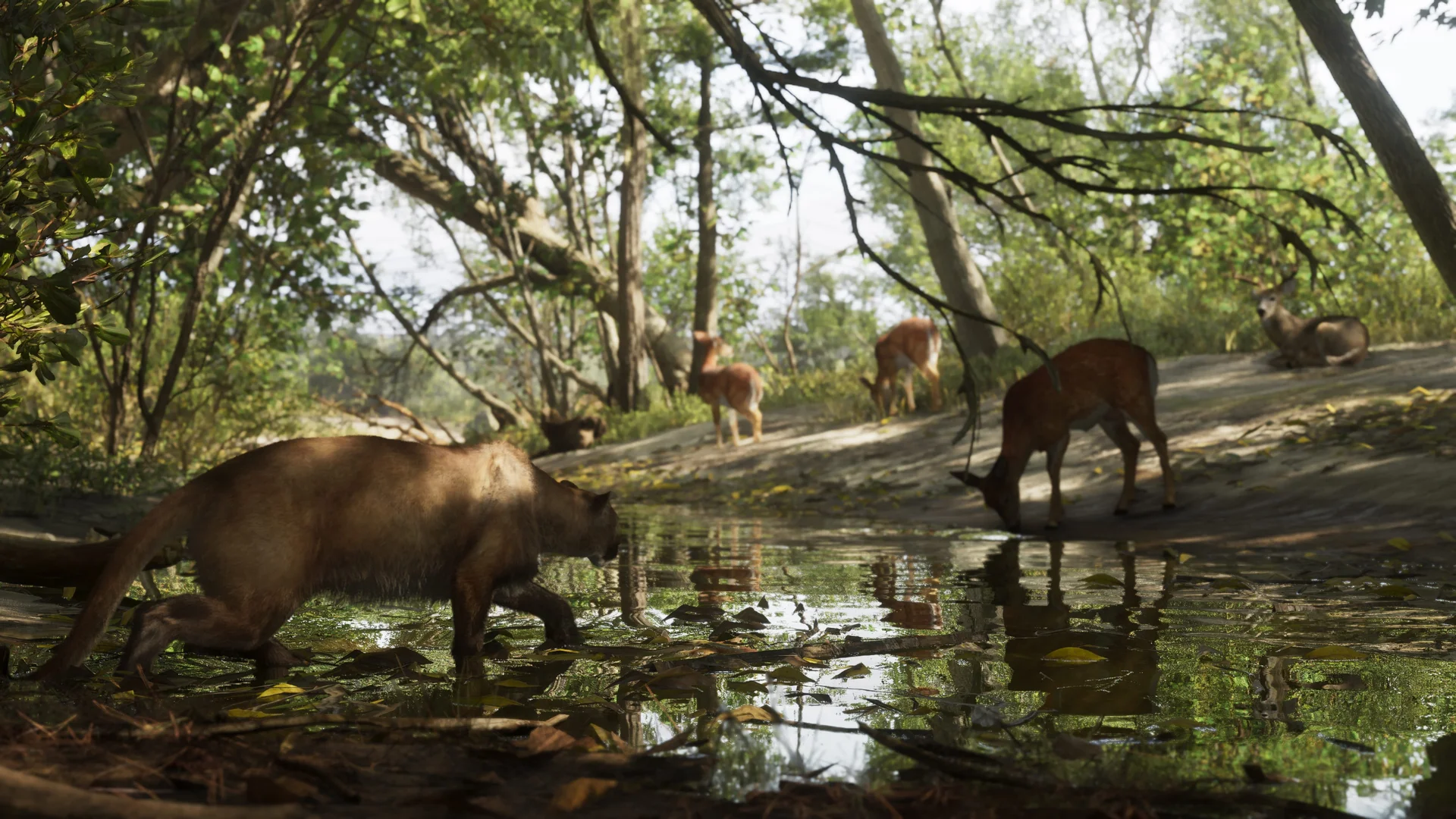
Lummox is the northern county and the map’s high ground. South West Lummox County holds the Zephyr Islands and Mount Kalaga National Park — the region Rockstar described as sitting against the state’s northern border, now pinned to a county at last.
Grayson follows, with San Malo Bay and the Featherstone Islands. Bonanza is the county’s busiest list: Okchioha Bay, Moreau, the MacAlister Gold Mine, the Saint Attaway Islands, Hyde Island and the Moreau River. A working gold mine on the in-game map is exactly the kind of named oddity that tends to hide story or side content.
East Lummox County adds Partridge Bay, the Frampton Islands, Lake Tallaloko, the Kalaga Reservoir and Dawson Dam. Millport, on Millport Basin, completes the county and the state.
A practical route note: Lummox is as far from the Keys as Leonida gets. If you are clearing the map’s fog — which PowerPyx notes earns The Goodtime State trophy for exploring all of Leonida — plan the northern run as its own trip, by air if you can. Crossing 16 km of state the short way still means swamps, a lake and a mountain range between you and home.
Frequently Asked Questions
How many counties are in GTA 6’s Leonida?
Five, according to PowerPyx’s full in-game map: Mariana County, Vice-Dale County, Kelly County, Leonard County and Lummox County. Rockstar has not published its own county list, so PowerPyx’s played-through map is the source.
How big is the GTA 6 map?
PowerPyx measured it at 175 km² — 16 km tall by 10.9 km wide, about 67.5 square miles — with roughly 35% water and 65% land. That is the first post-launch measurement and currently rests on that single source.
Which county is Vice City in?
Vice-Dale County, the main city county. The in-game map lists more than 20 named districts and islands for the city, including Downtown, Little Cuba, Stockyard, Starfish Island and Port Vice City, plus VCIA airport and Vice Beach.
Where is Mile Zero Air Station in GTA 6?
In Mariana County, in the southern Keys area of the map, per PowerPyx’s location list. It is the military air station shown on the full in-game map.
Which county is Mount Kalaga National Park in?
Lummox County, in the far north of Leonida, listed under South West Lummox County alongside the Zephyr Islands. The same county holds Grayson, Bonanza, Millport, the Kalaga Reservoir and Dawson Dam.
Where are Port Gellhorn and Ambrosia in GTA 6?
Port Gellhorn is in Kelly County in the north-west, with Wild Hog Point, Borrachero Sound and the Crude Islands. Ambrosia appears as a named location rather than a county; GTABase’s breakdown places it in the Kelly County area, which is reported rather than confirmed by the map list alone.
What is in Mariana County in GTA 6?
The Leonida Keys (Southwind, Key Lento and their smaller keys), Mile Zero Air Station, Pelican Valley’s swamps, Watson Bay, Grassrivers and Capri. It is the southern county where Jason’s part of the story begins.
What is Lake Leonida and where is it?
Lake Leonida is the large inland lake listed under North Leonard County, alongside Richard Barebone State Park and Little Hardin Island. It is the biggest body of fresh water named on the in-game map.
Do you get anything for exploring the whole GTA 6 map?
Yes. PowerPyx notes that fully unfogging the map — exploring all of Leonida — unlocks The Goodtime State trophy and achievement. The map starts covered and fills in as you visit places.
Is the GTA 6 map bigger than GTA 5’s map?
On PowerPyx’s measurement, yes: 175 km² is roughly twice the footprint usually quoted for GTA 5’s Los Santos and Blaine County, and about 35% of Leonida is water, so boats and aircraft are a real part of how the map is used, not an extra.
The Whole State, Named
Leonida is no longer a silhouette with six labels on it. Five counties, one great lake, two swamp systems, a military airfield and a city with more named districts than some games have towns — that is the map GTA 6 actually shipped, and every name above is a place you can now go and stand in.